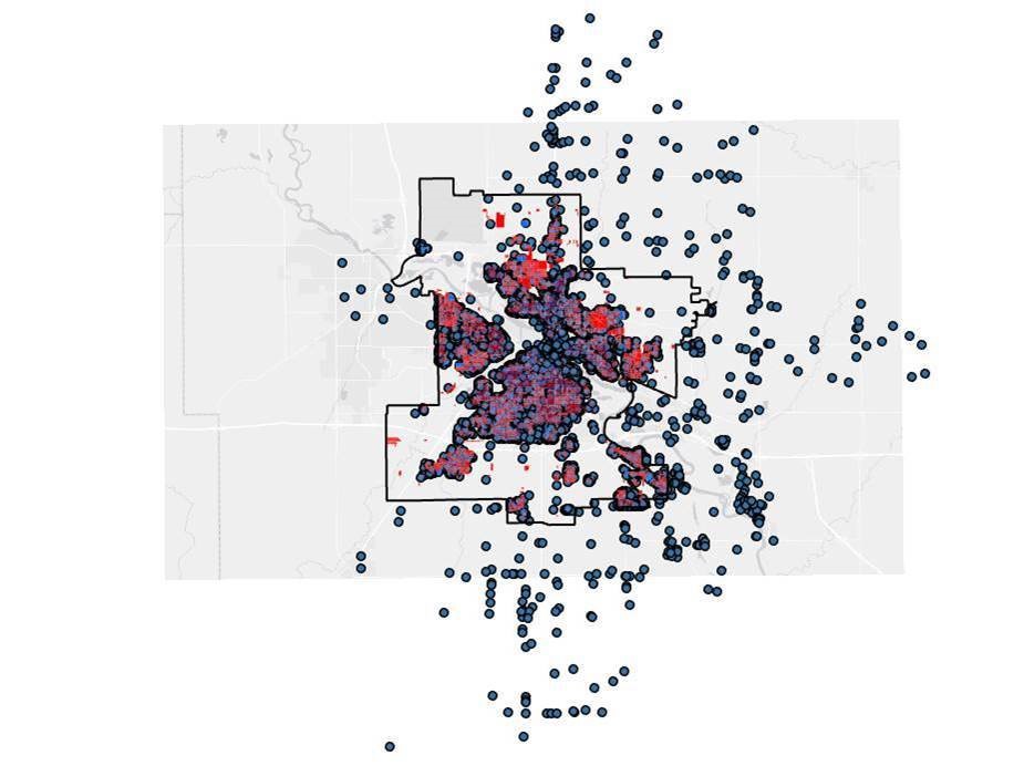
Waterloo Public Library Account Holder Map and Database
The Waterloo Public Library sought to understand how account holders were spread across Waterloo in order to identify areas that may need to be better served. Addresses of existing account holders were mapped with GIS, which provided several opportunities for further analysis, including account holders outside of city boundaries, households not using WPL services, and more.

Academic year
2020-2021
College/Department
Partner
Led by