Tama Comprehensive Plan
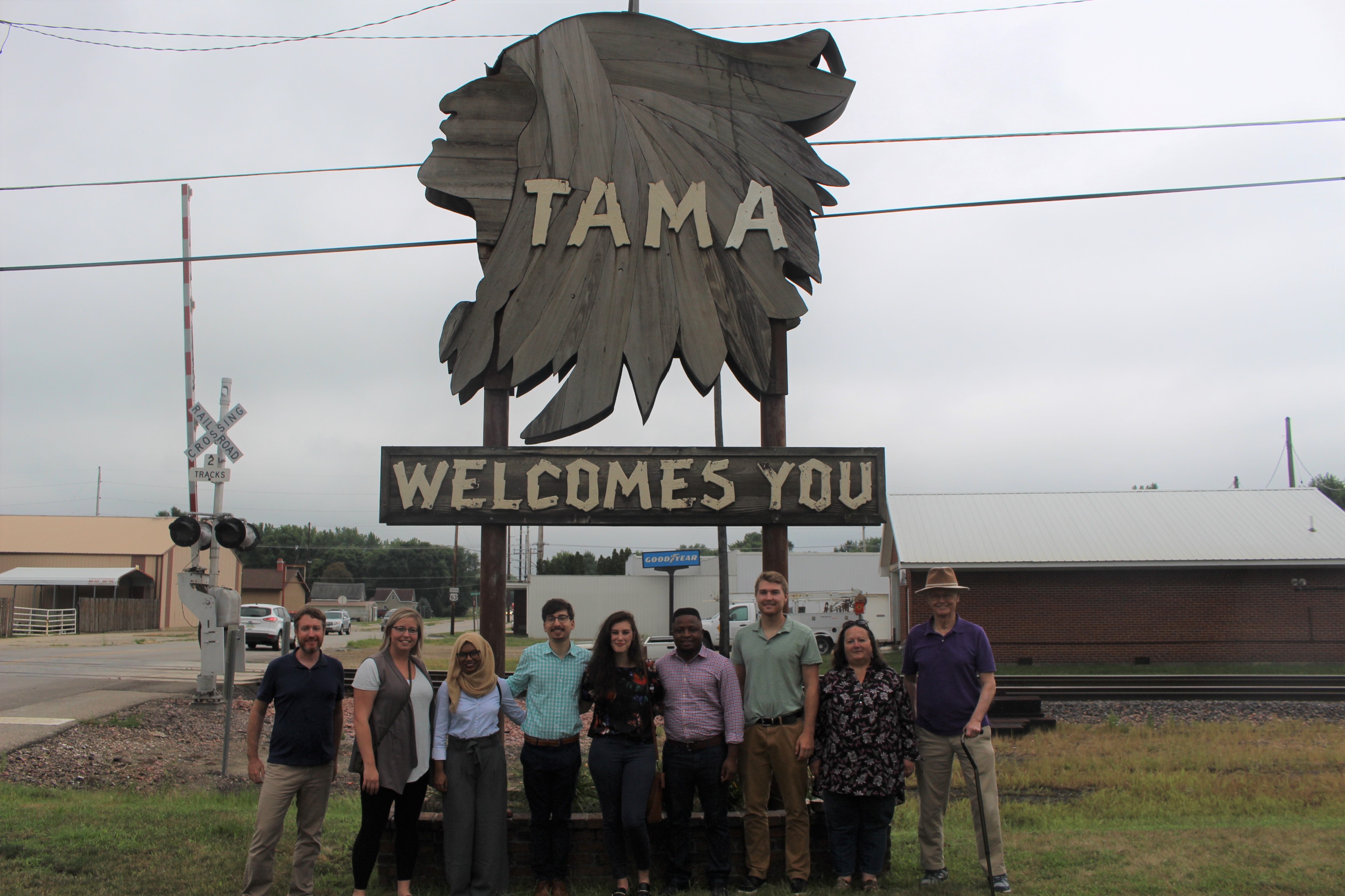
As part of their capstone project, second-year graduate students from the University of Iowa’s School of Urban & Regional Planning created a Comprehensive Plan for Tama, Iowa.
The City of Tama, Iowa, is located in Tama County, south of the intersection of Highways 63 and 30 in central Iowa. Tama’s population peaked at around 3,000 residents during the 1970s and has been stable in recent years at around 2,800 residents, partially as a result of the Iowa Premium meat packing factory located within the eastern city limits. Tama is also known for being adjacent to the Meskwaki Native American settlement.
With plans for Highway 30 to become a 4-lane interstate highway stretching from Illinois to Nebraska, Tama sees opportunities for eastward growth and for capturing traffic from the highway to support increased commercial activity. City officials believe land annexation near Highway 30, just east of the city limits, could help achieve their goals for economic growth. With expansion in mind, Smart Growth principles can help guide the effective management of growth impacts on housing, infrastructure, schools, parks and public spaces, and other community amenities.
The City had not previously had a Comprehensive Plan and recognizes the value of having a guiding vision and document for moving forward. Urban & Regional Planning students developed goals and objectives that establish the city's vision for the future. The comprehensive plan is not a legal document. It does not dictate how the community is to be developed, but is meant to outline a possible future that could occur over a defined period through the use of planning, investment policies, and regulatory tools.
The planning team developed policy goals for many aspects of the community; including, for example, land use, transportation, housing, parks and open space, infrastructure, facilities, and economic development. A key aspect of the Tama Comprehensive Plan is thea Future Land Use map, the city’s visual guide to the future, which outlines future growth guidelines for the City. The comprehensive planning process considers the relationship between the current zoning ordinances and land use, and how future land use serves as a guide for decision-making and future changes to zoning. The planning team used extensive public engagement to develop the plan.
