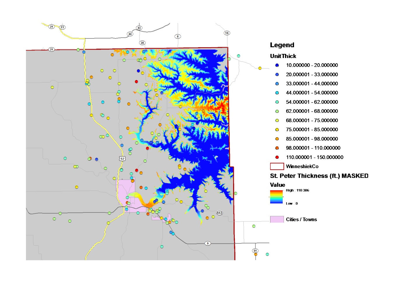
Mapping and Prediciting Potential Frac Sand Mine Locations
Researchers from the GEEMaP program, College of Engineering, and Department of Earth & Environmental Sciences collaborated to predict and map where frac sand mines may be most likely to occur in Winneshiek County if the industry enters the area.
everal criteria were developed and used to assess mine location likelihoods at sites across the county, including the suitability of St. Peter sandstone for mining, access to transportation networks, and land use regulations. These criteria were researched through several different methods, including GIS, field work, and statistical modeling. This highly interdisciplinary project brought together students and faculty from diverse fields and resulted in products that contributed to Winneshiek County’s ability to make decisions about engaging with the frac sand mining industry.
